guides / safety
How to Avoid Getting Lost While Hiking—and What to Do If You Are
Prevent navigation mistakes before a hike, then use a calm stay-or-retrace decision, a rescue message and visible signals if you lose the trail.

How to Avoid Getting Lost While Hiking—and What to Do If You Are
A common pattern is missing an ordinary junction, continuing past the point where the trail stops matching the map, and only then recognizing the error.
The best way to avoid getting lost while hiking is to make your route recoverable before you start: carry a paper map plus an offline map, leave a trip plan with someone, notice named junctions and landmarks as you pass them, and turn around as soon as the trail stops matching the map. If you are already lost, stop moving, establish your last known location, call or message for help when needed, and retrace your steps only when the route is short, identifiable and safe.
This is a decision guide, not a substitute for current ranger instructions, emergency services or navigation training. If you have already contacted rescuers, follow their instructions rather than a general article.
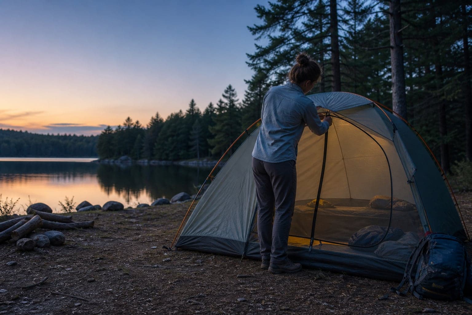
Hero photo by Vlad Bagacian via Pexels.
The one-minute plan
If the trail no longer makes sense:
- Stop. Continuing at the same speed turns uncertainty into distance.
- Breathe and account for everyone. Treat injuries and get out of immediate hazards.
- Mark your present position. Drop a pin, note coordinates and photograph the surroundings without wandering.
- Reconstruct your last known location. Identify the last signed junction, bridge, creek, viewpoint or unmistakable turn.
- Choose deliberately: make one short, safe retrace to a confirmed point, or stay put and call for help.
- Send useful information. Coordinates, trailhead, last known point, group condition, clothing and remaining supplies matter more than a long explanation.
- Make yourself findable. Preserve phone power, use visible and audible signals, and avoid unnecessary movement.
The crucial distinction is between being briefly uncertain and being unable to recover the route. You can solve the first with a controlled check. Treat the second as an emergency problem.
Before the hike: make the route recoverable
Good navigation is not staring at a blue dot all day. It is maintaining enough context that one failed battery, missed blaze or obscured junction does not erase your plan.
Build a route card someone else can use
Send one person who is not on the hike a compact trip plan:
- trail and trailhead name;
- map link or route file;
- intended direction and major junctions;
- vehicle description and licence plate;
- names and phone numbers in the group;
- planned start and return time;
- the time they should contact you, then authorities, if you do not check in;
- any medical, mobility or communication information rescuers may need.
“Hiking Saturday” is not a rescue plan. “Pine Ridge trail from the north lot, clockwise loop, back by 5:30 p.m.; call at 7 p.m. if there is no message” is actionable.
Carry two navigation layers
Use two systems that do not share the same failure:
- Primary: an offline map on a charged phone or dedicated GPS device.
- Independent backup: a paper topographic or park map and a compass you know how to use.
Download the map before leaving coverage, then switch the phone to a battery-saving mode that still permits location access. A screenshot of the trail description is useful, but it cannot show where you are. A live web map is not an offline map merely because it loaded once in the parking lot.
For a remote route, a satellite messenger or personal locator beacon can reduce the consequences of having no cellular service. It does not replace navigation, a trip plan or the judgment to turn around.
Check the route, not only the weather
Before departure, verify:
- current closures and reroutes;
- whether the route is marked in both directions;
- river crossings, snow, fire damage or washouts;
- the last reliable water source;
- sunset and the time at which you will turn around;
- whether downloaded maps show the current official route.
User-created tracks can preserve an old path after a formal reroute. Current park or land-manager information governs.
While hiking: maintain a chain of known points
At each major junction, pause long enough to answer four questions:
- What is the junction called or numbered?
- Which branch are we taking?
- What should the next obvious feature be?
- How long should reaching it take at our present pace?
Take a quick photograph looking back down the route you will use on the return. A fork can look completely different from the opposite direction.
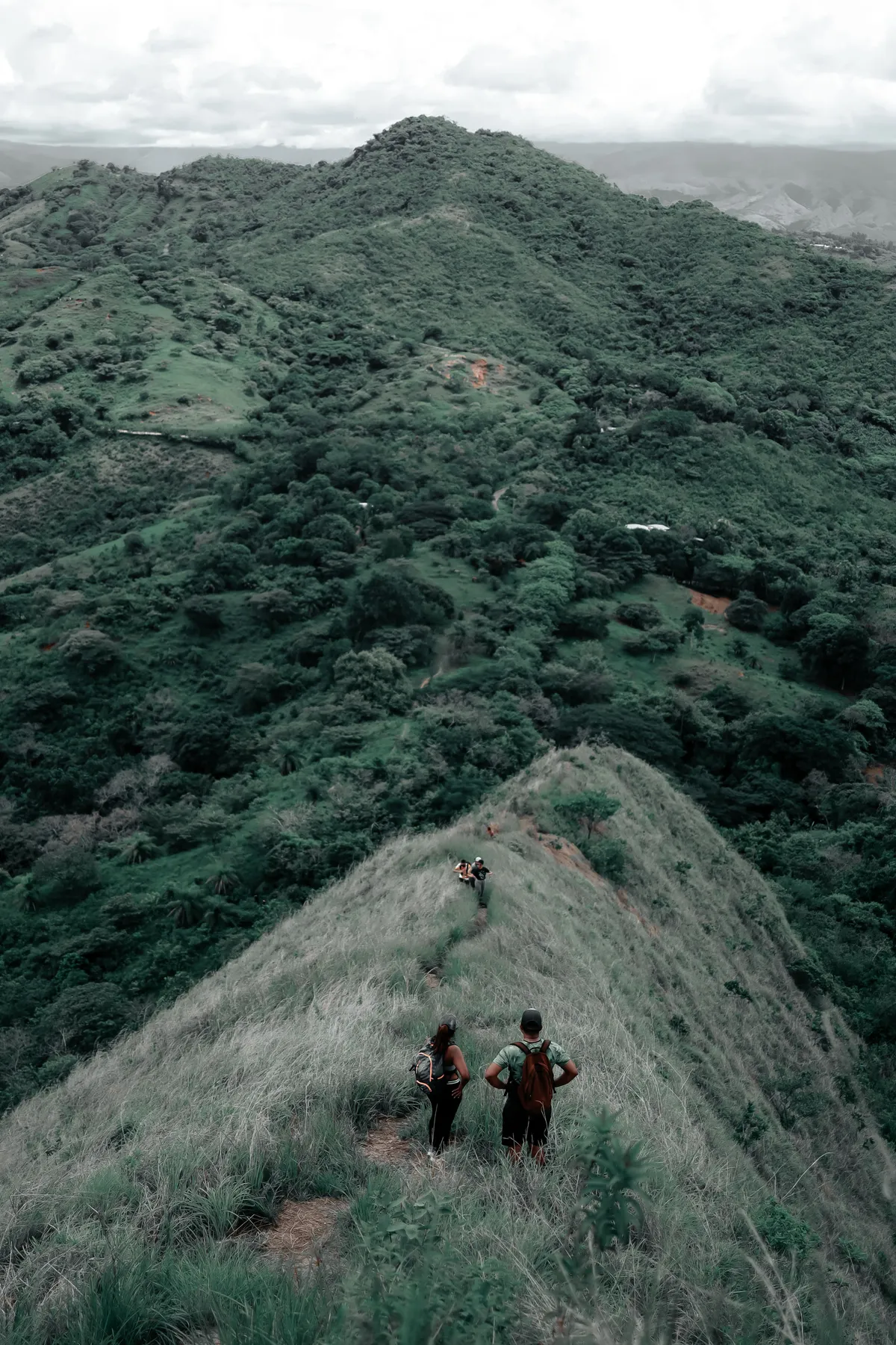
Staying together keeps one navigation problem from becoming several. Photo by Jibarofoto via Pexels.
Watch the trail itself. If footprints, blazes, cut vegetation and expected landmarks all disappear, do not keep walking in hope that the path will become more path-like. Check the map while the error is still measured in metres rather than kilometres.
Use a turnaround trigger
Choose the turnaround trigger before deteriorating conditions make the decision for you:
- the next landmark has not appeared within the expected time;
- the route and terrain no longer agree;
- the group cannot identify its location on both map and ground;
- daylight, weather, water or a group member's condition is deteriorating;
- the only way forward involves an unplanned scramble, crossing or off-trail descent.
Turning around early is not a failed hike. It is the navigation system working.
You lost the trail: stop before solving
The National Park Service Outdoor Emergency Plan begins its lost-person guidance with stopping, breathing and finding your location. That order matters. Panic creates fast decisions precisely when the available information is weakest.
Move only far enough to escape an immediate danger such as fire, rockfall, rising water, lightning exposure or an unsafe road edge. Otherwise, keep the group together and record the point where you first admitted the route was lost.

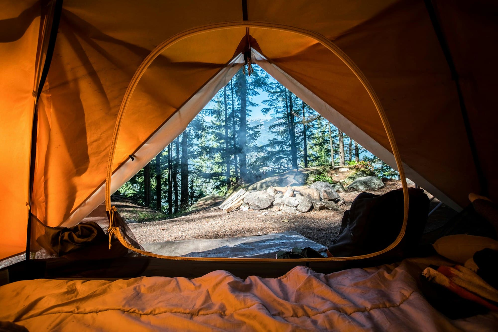
When the trail stops matching the plan, stop before uncertainty becomes distance. Photo by Gantas via Pexels.
The one-minute plan is the immediate sequence. STOP is the shorter prompt to remember when stress makes that sequence difficult to recall:
- Stop: halt movement and unnecessary phone use.
- Think: when did the route last make sense?
- Observe: map, compass, terrain, weather, injuries, daylight and supplies.
- Plan: choose one reversible next step and define when it ends.
STOP is useful because it interrupts wandering. It is not a magic navigation method and it does not tell every group to make the same decision.
Stay put or retrace? Use this decision table
| Situation | Safer default | Why |
|---|---|---|
| You can identify the last confirmed junction, the route back is short and visible, and conditions are stable | Make one controlled retrace | You are returning to a known point, not searching broadly |
| You have called emergency services or activated an SOS | Stay where instructed | Movement can separate you from the coordinates rescuers received |
| Someone is injured, exhausted, confused or showing heat/cold illness | Stop, protect the person and call for help | Travel may worsen the condition and complicate rescue |
| Darkness, storms, steep ground, wildfire smoke or rising water make movement hazardous | Move only out of immediate danger, then stop | Navigation errors become more consequential in changing hazards |
| You cannot identify a last known point or would need to choose among several unmarked directions | Stay put and signal | A guess is not a retrace |
| You are beside a vehicle on a remote road | Usually stay with the vehicle | A vehicle is more visible and provides shelter and supplies |
A retrace should be short, cautious and reversible. Set a limit: for example, return only to the bend or junction you can describe, not “until something looks familiar.” If the known point does not appear within that limit, go back to the marked position.
Send a rescue message that helps
Call the local emergency number when life, health or continued self-rescue is in doubt. Use any emergency communication method available; delivery and coverage vary by region. A satellite device should use its documented SOS process.
Use this message structure:
We are lost on [trail/park]. Coordinates: [latitude, longitude plus format]. We started at [trailhead] at [time]. Last confirmed at [landmark/junction] around [time]. Group: [number and condition]. Clothing/shelter: [colors and equipment]. We have [water, warmth, light, communication]. We are staying at these coordinates unless you instruct us to move.
Confirm the coordinate format if the dispatcher asks. A correct number in the wrong format can point elsewhere.
After contact:
- follow the dispatcher's instructions;
- keep the phone available and conserve battery;
- do not repeatedly call friends for parallel rescue plans;
- note any change in location or condition;
- keep the group together unless emergency personnel direct otherwise.
Make your position easier to find
Use signals where rescuers can see or hear them without creating a new hazard:
- bright clothing, an emergency blanket or high-contrast gear in an open area;
- a whistle in repeated bursts, followed by quiet listening periods;
- a flashlight after dark;
- a mirror or reflective surface in daylight;
- a large ground marker where it can be made without damaging protected resources.
Do not light a signal fire where fires are restricted or where it could escape. Do not climb exposed terrain just to gain a signal. An extra bar of service is not worth a fall or lightning exposure.
If you may be out overnight
Shift from route finding to protecting body temperature and remaining findable:
- Choose a stable location away from falling branches, drainage channels, cliff edges and other immediate hazards.
- Put on dry insulation before you become cold; add rain and wind protection.
- Insulate yourself from the ground.
- Keep necessary water, medication, light and communication within reach.
- Make the site visible without scattering equipment across a wide area.
For most otherwise healthy day hikers, food is not the first overnight problem. Exposure, injury, dehydration and preventable movement deserve attention first.
Navigation mistakes that turn a small error into a rescue
Following any line on an app
Apps may show unofficial social trails, old alignments or routes inappropriate for the season. Match the map with terrain and current land-manager information.
Descending because “roads are downhill”
Drainages can lead to cliffs, waterfalls, dense vegetation or flash-flood terrain. There is no universal downhill exit rule.
Splitting the group
Separate searchers create more people to account for and more possible routes. Keep the group together unless rescuers give a different instruction.
Preserving phone battery too late
Lower brightness, close unnecessary apps, stop recording video and preserve power early.
Walking toward a distant light or sound
Distance and direction are difficult to judge in darkness, wind and complex terrain. Treat an unconfirmed cue as information, not a route.
Pack for one unplanned delay
For even a day hike, carry enough to manage a slower return or several stationary hours. The NPS Ten Essentials provides the official baseline:
- offline map, paper map and compass;
- charged phone and compact power bank;
- headlamp;
- whistle;
- rain/wind shell and an insulating layer;
- water plus an appropriate backup treatment method;
- simple food;
- first-aid supplies and personal medications;
- emergency blanket or compact shelter;
- fire-starting equipment only where legal and appropriate;
- satellite communication for remote routes when justified by the consequences of no service.
Our camping first-aid kit guide covers medical supplies. If the route relies on natural water, the camp water-treatment guide explains what filters, boiling and chemical treatment do—and do not—remove.
Frequently asked questions
Should you always stay put when lost hiking?
No. If you can safely make a short retrace to a clearly identified last known point, that may recover the route. Stay put when the direction is uncertain, travel is hazardous, someone is unwell, or rescuers have your location and tell you to remain there.
Can a phone GPS work without cell service?
Satellite positioning can often determine location without cellular service, but the map layer and route may not be available unless downloaded beforehand. Battery, sky view and device settings also matter. Test the offline setup before the hike.
Should you follow a stream downhill?
Not as a general rule. Streams and drainages can lead into cliffs, waterfalls, canyons, dense vegetation and flash-flood zones. Use a verified route, not a survival cliché.
What information should a hiking trip plan include?
Give a trusted person the trail and trailhead, intended route, vehicle, group, return time and a specific escalation time. Include the official location or map link so they can tell responders where you actually intended to be.
Stop uncertainty from becoming distance
Preventing a navigation emergency is mostly the habit of noticing early. Know the next landmark, look back at junctions and respond when the trail first stops matching the plan.
If you do become lost, the first objective is not to move faster. It is to replace uncertainty with a known position, a clear decision and information rescuers can use.
Related reading: Camping Safety 101 · Camping First Aid Kit · Night Hiking Tips
Sources reviewed
Fact-checked Sep 26, 2026
These references support factual or safety-sensitive claims in this article. Access dates show when our editors last verified the source.
- National Park Service — Outdoor Emergency Plan
Official source · Accessed Sep 26, 2026
- National Park Service — Trip Plan
Official source · Accessed Sep 26, 2026
- National Park Service — Ten Essentials
Official source · Accessed Sep 26, 2026